Sunday, 3 May 2015

Sir Bradley Wiggins rides in as the

Tour de Yorkshire comes through Silsden

Above: a bearded Sir Bradley Wiggins in Skipton Road as the inaugural Tour de Yorkshire came through Silsden on Sunday, May 3. From Wakefield to Leeds, this was the last of the Tour's three stages.
Above: filming the leaders of a field that featured several well-spread packs of riders.
Above: one of the leading groups.

Above: another pack in hot pursuit.

Above: downhill after the climb up Priest Bank Lane at Kildwick.

 Above and below: applause greeted the riders all the way down Skipton Road.
 

Above: Anne Kennedy holds her grandson William as they and William's mum Laura Welsh wait for husband James Welsh to ride past in the Sportive, which preceded the professional race.
Above: the Dale Family were out early on Sunday morning to cheer the 6,000 amateur riders in the Sportive, which took place on the same roads as the third and final stage of the Tour.
Above: Madison and Harry Bowness wait with dad Andrew to cheer the Sportive riders.
Above: music was provided at the Twisters Club for the spectators awaiting the Tour de Yorkshire.Above and below: crowds gather in Bell Square where the Kings Arms and the Punch Bowl provided refreshment.


Above: after rain in the morning, the sun was shining by the time people started to gather in Bolton Road.

Above and below: as with the Tour de France last year, public support for the Tour de Yorkshire overwhelmed the organisers. Ben Hermans, the Belgian winner of the Wakefield-Leeds stage, remarked that in the Benelux countries crowds throng the finishing line but in Yorkshire there was solid support throughout the 167km-stage.


Monday, 27 April 2015

Spring sunshine sets seal

on Silsden's scenic splendour


Above: a circular walk along the canal and back through lanes illustrates why Silsden takes some beating as a place to live. Here, modern homes overlook moorings for the nearby busy canal boating centre.
Above: this imaginative development is in striking but not unpleasant contrast to the sturdy Victorian terraces which housed textile-mill workers. 
Above: colourful gardens are a feature of the canal-side fringes of Waterside.
Above: this willow weeps with a reflective sweep.
Above: the Howden Park settlement has ancient roots.
Above: pylons 'march' across old field systems between Holden Bridge and Alder Carr Wood. Howden and Holden have caused what one historian describes as a "serious confusion of nomenclature". Holden is a Norse word meaning "hollow in the valley".
Above: looking back beyond Holden Bridge towards Silsden.
Above: mother goose takes a bow in presenting her eight greylag goslings.
Above: a landmark house near the towpath at Lower Holden. 
Above: view towards Silsden from the towpath below Alder Carr Wood. 
Above: a distinctive bend in the canal at Lodge Hill, which was called "blood dell" by older Silsdeners who played here as children. The path to Lower Holden leaves the towpath opposite the dell. 
Above: the track from Lower Holden Farm towards Howden House, which was once a farm with an immense corn barn that has been converted into luxury homes.
Above: the track from Howden House in the opposite direction to Lower Holden, which was part of the much larger pre-Norman manor of Holden. The area has a fascinating history.  
Above: Holden Beck nears the River Aire. The beck in Lady Anne Clifford's time powered a corn mill at Howden Park.
Above: panoramic view of the Aire Valley from Hainsworth Road. 
Above: where sheep may safely graze and rest in the shade. The green lane that became Hainsworth Road had served farming settlements for more than 500 years.
Above: Hainsworth Road farmland has given way to housing in recent times. 

Friday, 24 April 2015

Blossom by blossom, the spring begins

Above: hedgerows are frothing with blackthorn blossom, which appears before the leaves. This native shrub forms dense thickets, affording protection for nesting birds. The blue-black fruits, known as sloes, can be made into jam and wine, and to flavour gin.

Wednesday, 22 April 2015

Affordable housing planned for waste-transfer site

Above: skip-business owner Chris Atkinson is pictured by part of his land where housing aimed at young couples could be built. Mr Atkinson, who is the town mayor and a Bradford district councillor, has submitted an outline plan for 20 homes. The site, bordered by The Green and Bradley Road, is bisected by a ghyll, which would be filled in and the stream piped. He envisages "affordable and sustainable" two and three-bedroomed houses being built for young or elderly couples.  
Above: Councillor Atkinson is pictured at the business part of the site, which has a 60-year association with scrap metal. It periodically has angered neighbouring residents. The site became a waste-transfer station when environmental legislation led to the introduction of skips. The land was part of High Green Farm and housed hen huts until passing to Councillor Atkinson's late father, Trevor, in 1955. Trevor Atkinson and his close friend Peter Narey were well-known dealers for many years.
Above: Throstle Nest Farm, demolished in 1926, stood on the site adjacent to Bradley Road. Foundations beyond the gate in the first photograph may be those of the old farm cottages. This photograph and the picture below were published in books by the late Neil Cathey.
Above: another view of Throstle Nest. A nail-maker's smithy adjoined the two farm cottages.
Above: this characterful-looking couple pictured at Bolton Road End are Johnny Munro and Tom Mason. The Munro family had occupied Throstle Nest since the early 1860s.    

Wednesday, 25 March 2015

A profusion of primulas
Above: "People from a planet without flowers would think we must be mad with joy the whole time to have such things about us" -- Iris Murdoch. This array provides an uplifting relief between the Wesley Place car park and busy Kirkgate. The planting is by Bradford council.
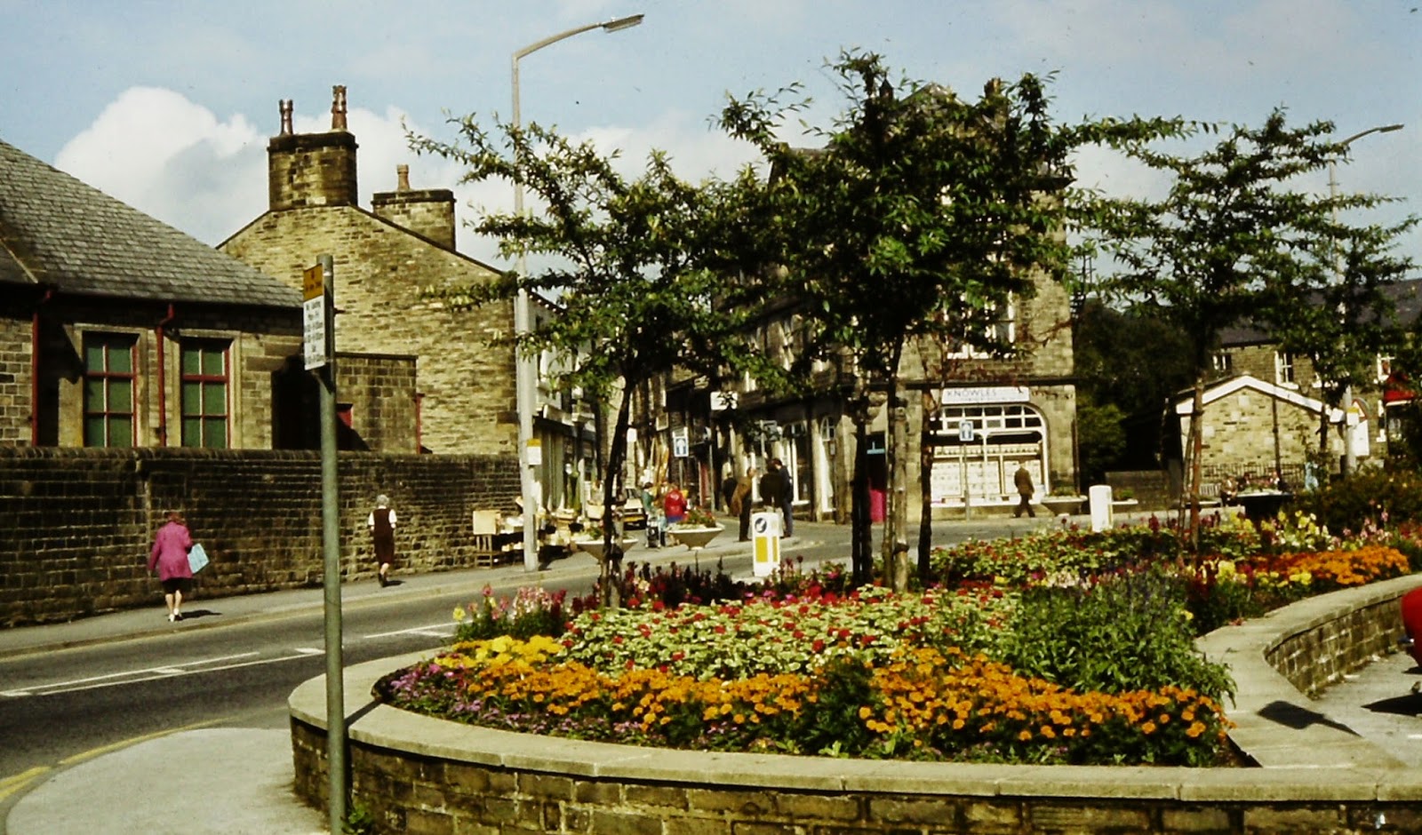
And the scene in summer in the 1970s

Saturday, 28 February 2015

Gasworks site that became a valuable piece of real estate

Above: attractive canal-side homes. It is difficult to imagine this Hainsworth Road setting as the site of the old municipal gasworks. 
Above: the same scene post-war. The landmark gas-holder (gasometer) can be seen between the retort house on the left, where coal was heated to generate the gas, and the manager's house on the right. The photograph is from the late Kevin Bower's collection.
Above: Demolition of the retort house opened up the view of the gas-holder. Photograph from the late Kevin Bower's collection. Silsden's gas supply was originally provided by a local firm until about 1880 when the Local Board (the Urban District Council's predecessor) entered into an agreement with the Kildwick Parish Gas Company for bulk supply. This arrangement continued until 1903 by when the UDC had built the Hainsworth Road gasworks.
Above: an earlier view showing the tower that would have been packed with coke, down which water was trickled to remove ammonia and ammonium compounds. Photograph by the late Will Baldwin.
Above: demolition of the tower and chimney. Photograph by the late Will Baldwin. Silsden council operated the gasworks until nationalisation in 1949 when the plant became the responsibility of the North Eastern Gas Board.

Above: the former manager's house, Valley View, has been a distinctive feature of Hainsworth Road for more than 100 years.
Above: the rear of the house about 50 years ago. Hainsworth Road is still referred to as "gasworks lane" by older Silsdeners. Photograph from the late Kevin Bower's collection.
Above: nine stylish houses have been built on the old gasworks site, seven of them overlook the canal. The development was completed in 2008. Houses that have come on the market since then have carried prices in the region of £300,000. 
Above: the four-bedroom houses form a cul-de-sac, which is named Canal Side, as shown below. The field beyond the development was the home of the Silsden Amateur Rugby League Club from its inception in 1921 until 1963.